RESEARCH
Members of the Purdue Hydrologic Impacts Group conduct research on the hydrologic impacts of environmental change at a range of scales, through the use of in-situ data collection, remote sensing and hydrologic models. This page lists current and past research projects.
Focused CoPe: Strengthening Resilience of Manoomin, the Sentinel Species of the Great Lakes, with Data-Science Supported Seventh Generation Stewardship
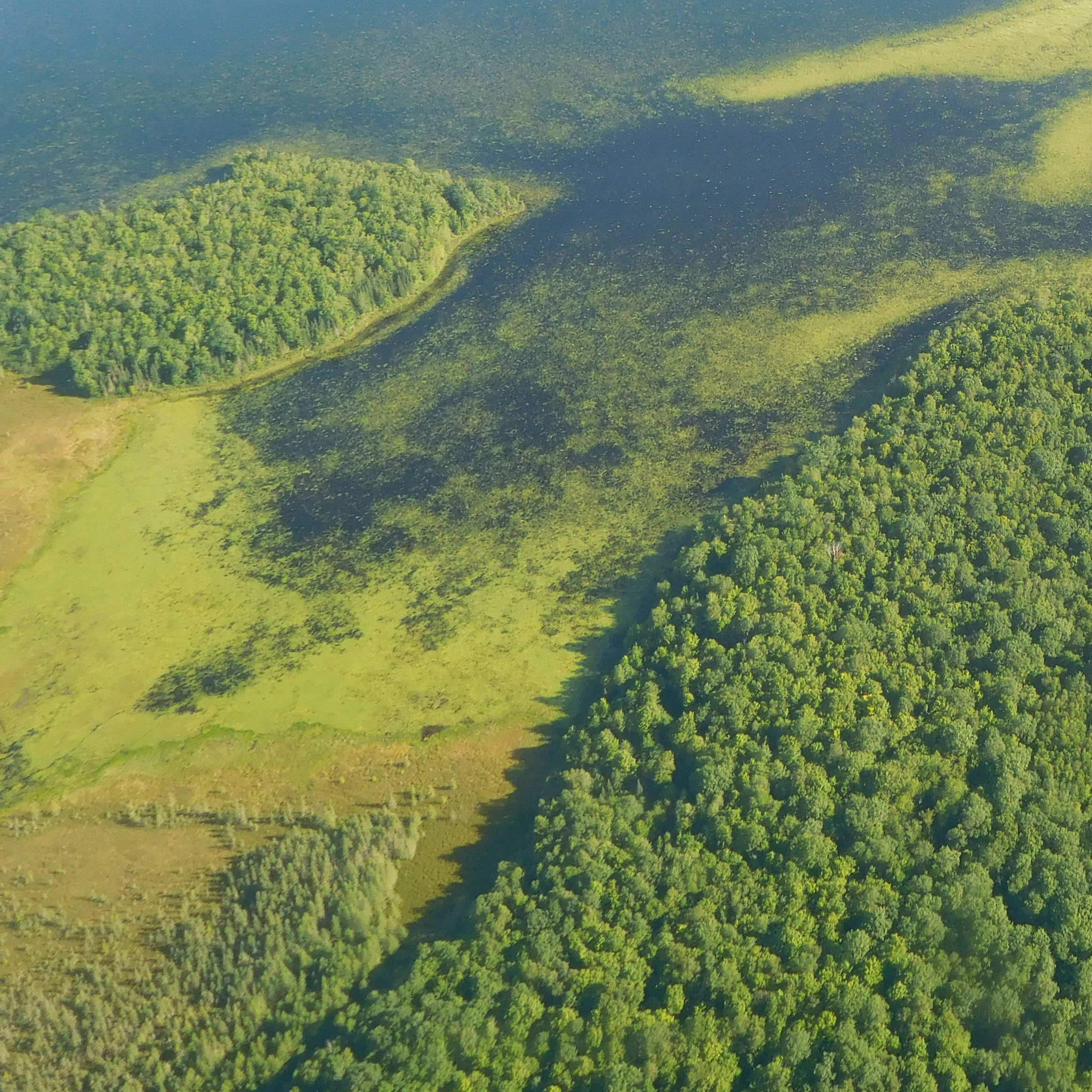
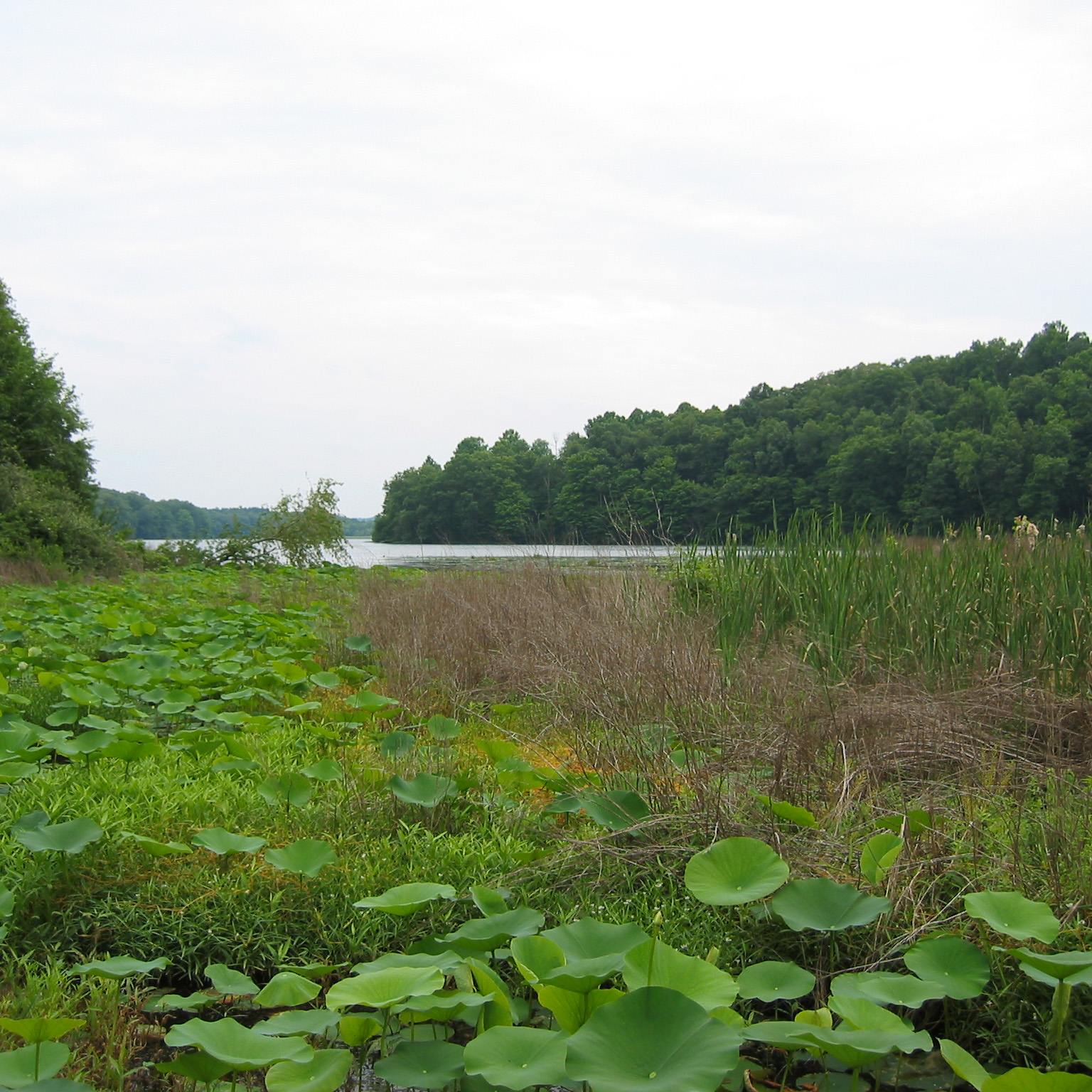
A project funded by the NSF Coastlines and People program to improve the mapping and monitoring of coastal wetlands in the Great Lakes region. Great Lakes Native Nations are particularly vulnerable to coastal change, because water and coastal ecosystems are crucial for their livelihood, sustenance, cultural practices, and well-being. This project seeks to improve our understanding of Manoomin (wild rice) habitat and provide tools to help local nations manage this important food source in a changing climate.
Less is more: Eco-intensification using recycled drainage water for fertigation
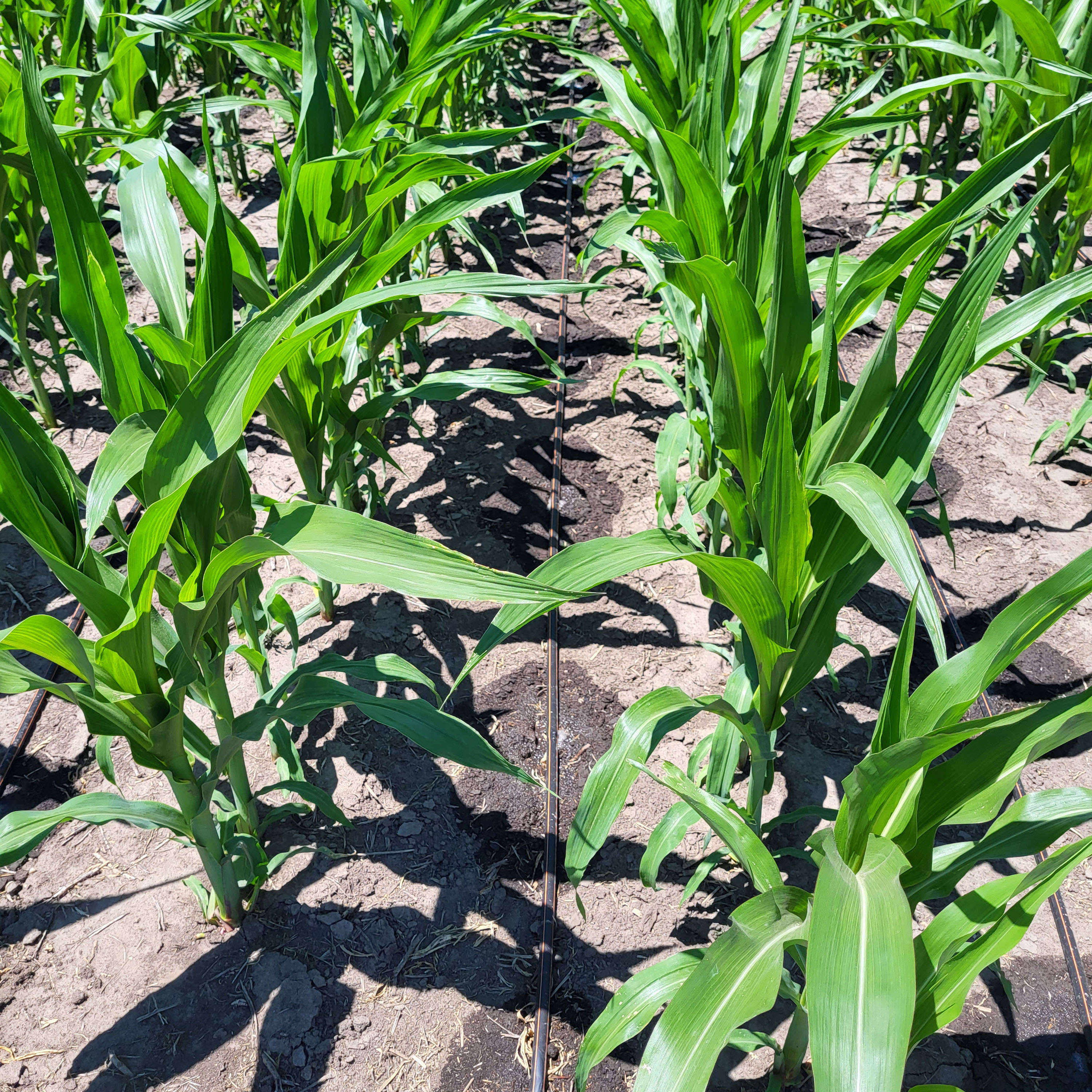
A project funded by the USDA to evaluate the potential for using water stored in lowland areas and wetlands for supplemental irrigation of row crops to offset losses due to increasing climate variability. Also assessing the ability of fertigation through the same system to reduce nutrient application and wash-off.
Improving the Remote Sensing of the Biogeochemical State of Midwestern In-land Waters
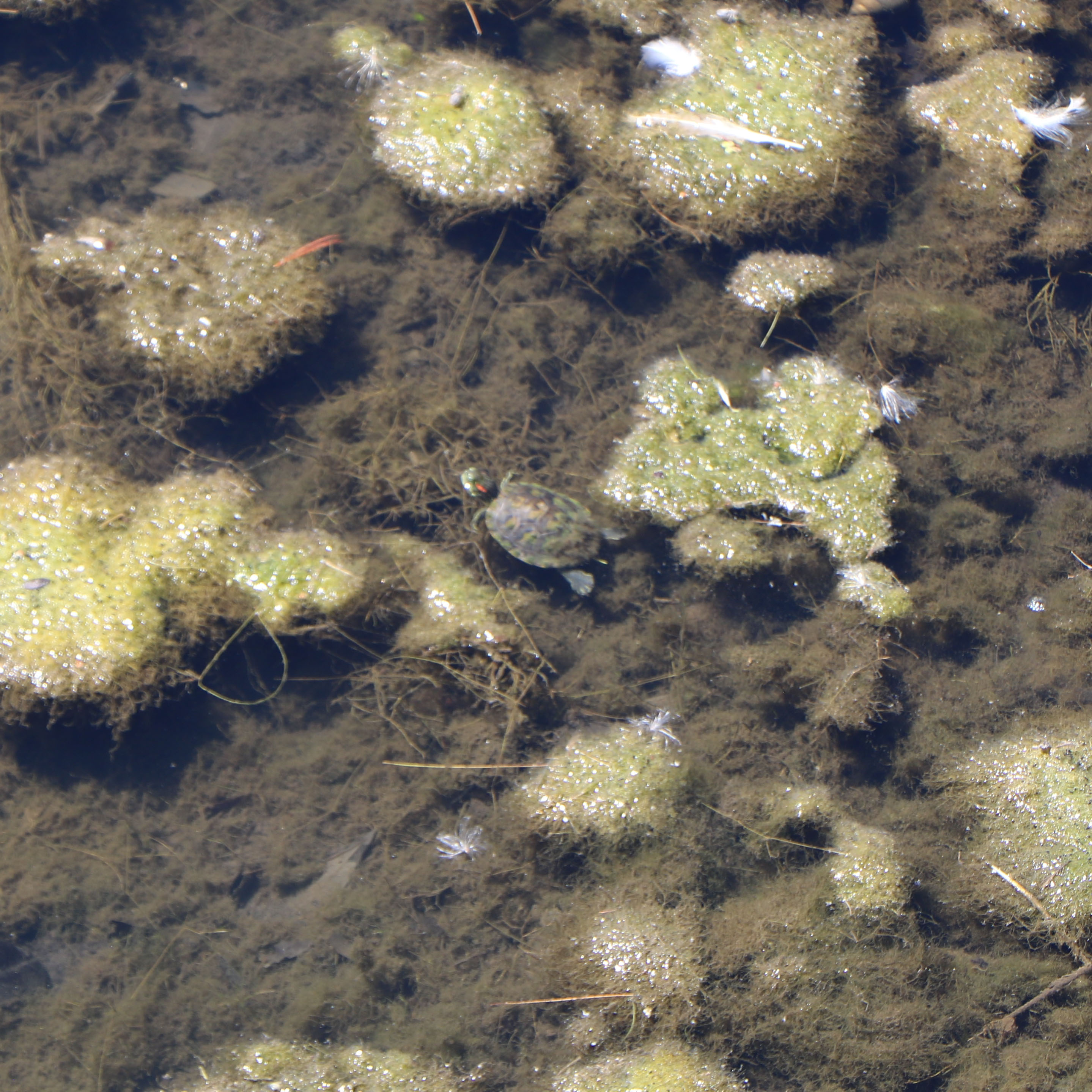
A NASA funded project to improve the accuracy of remote sensing to quantify the biogeochemical state of in-land water (reservoirs and lakes) of the Midwestern U.S. and improve the prediction of the occurrence of harmful algal blooms (HABs).
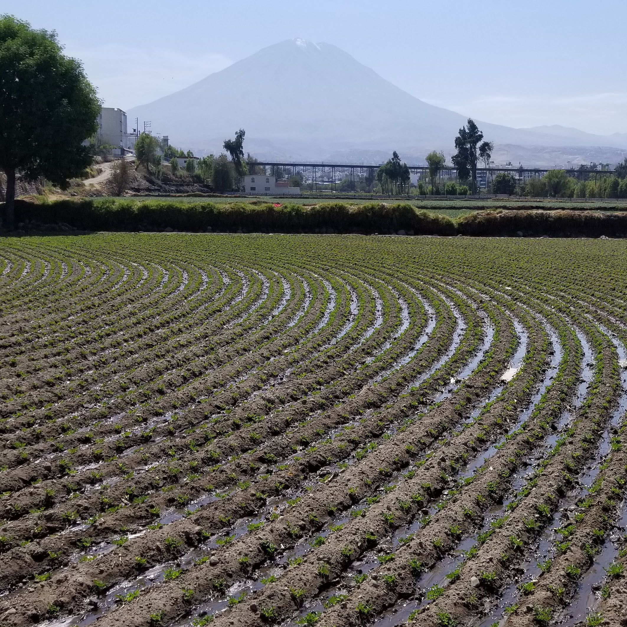
A Framework for Sustainable Water Management in the Arequipa Region
A project for the Arequipa Nexus Institute focused on understanding the environmental and social dimensions of water management and watershed governance in the Department of Arequipa in Peru and develop research capacities, programs, and tools to improve the sustainability of water management and watershed governance in the region.
State of Indiana Water Resources
An IWRRC funded project to report on the state of Indiana's water resources as each water year ends. Though the new water year starts on October 1, the site is typically not fully updated until November 1 due to limits on data availability.
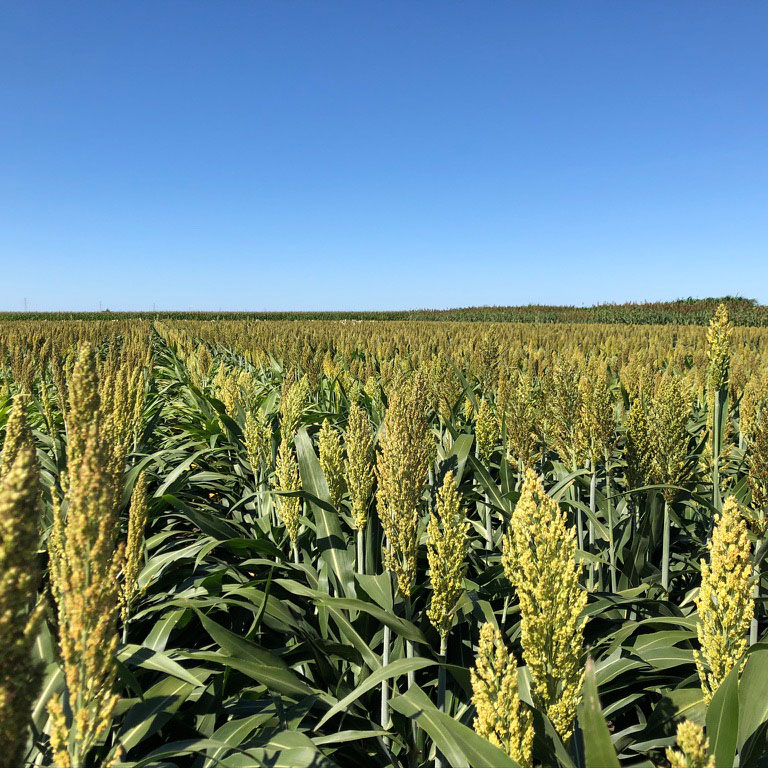
Phenotyping of Sorghum Soybean Phenotyping Using Unmanned Aerial Systems (UAS)
A project funded by the U.S Department of Energy's ARPA-E program to improve high-throughput phenotyping for sorghum (and corn) to facilitate its use in biofuel generation.
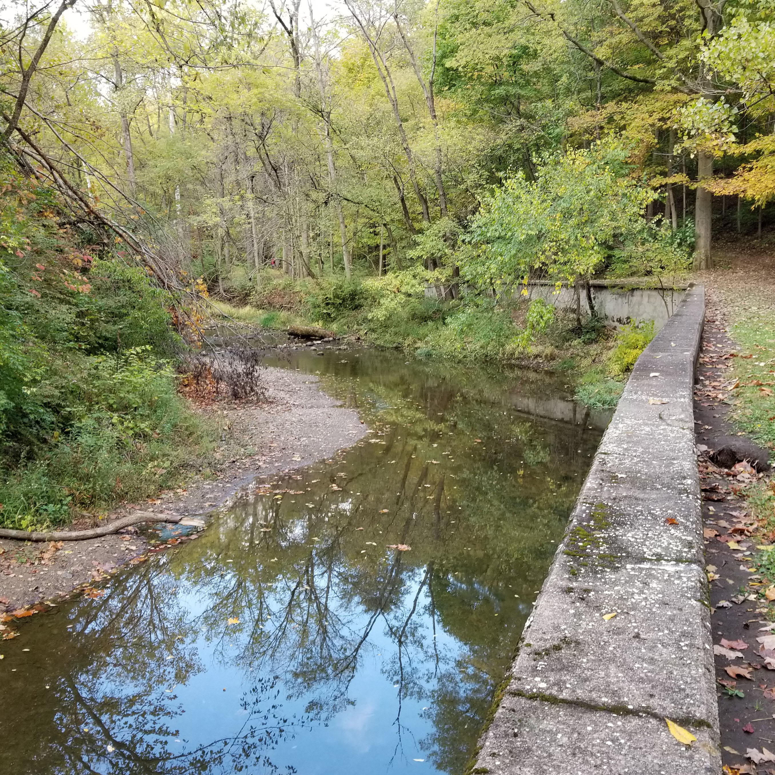
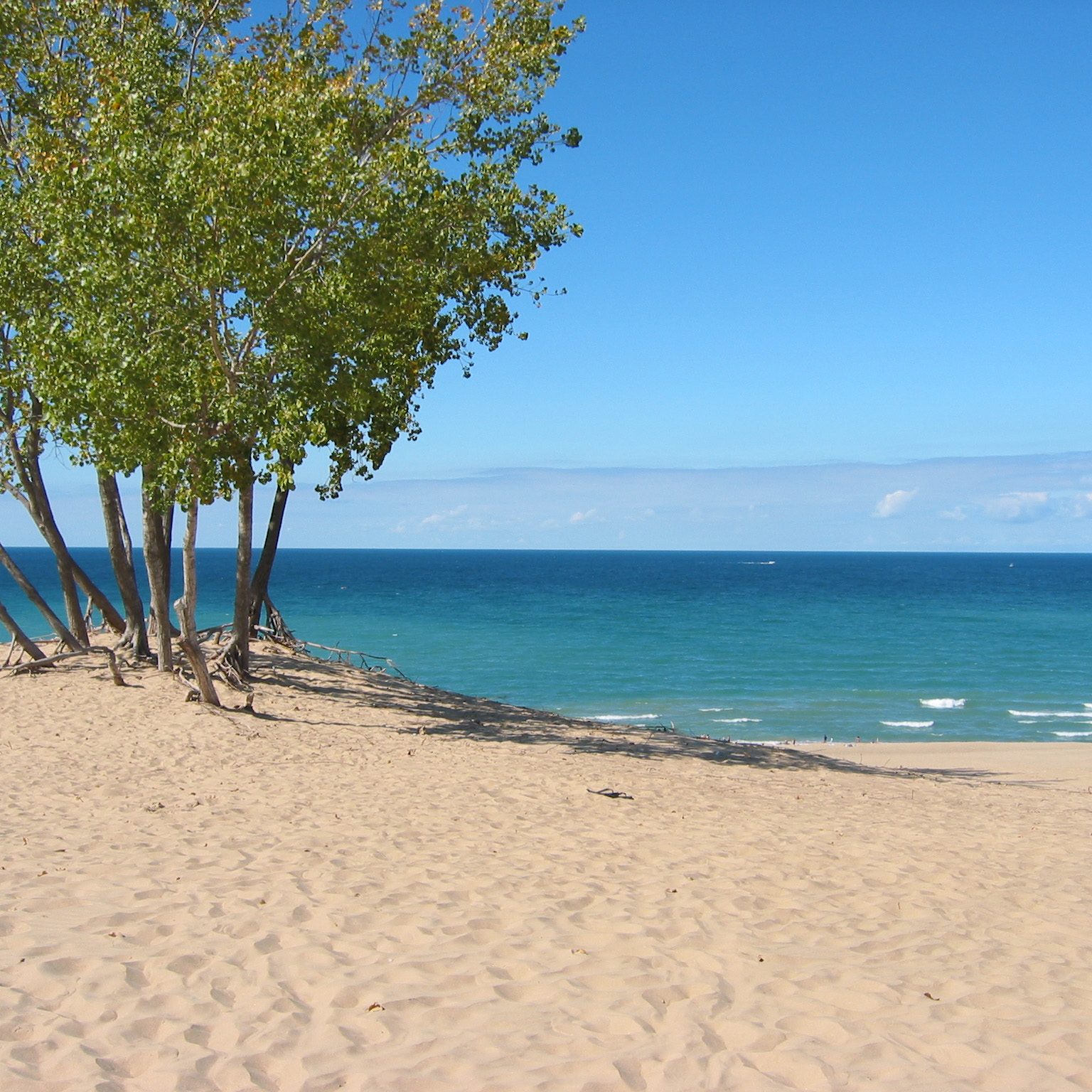
Remote Sensing of Water Quality Indicators in the Wabash River
Funded through the Indiana Water Resources Research Center (IWRRC) 104B program to evaluate existing algorithms for the assessment of water quality in oceans, lakes and reservoirs as applied to river systems in the Wabash River using satellite remote sensing and in-stream sample analysis.
Can there ever be enough? Analysis of the adoption, penetration and effectiveness of urban stormwater best management practices
Funded through the Indiana Water Resources Research Center (IWRRC) 104B program to evaluate the level of BMP adoption, and the intensity and duration of sampling needed to demonstrate statistically significant change; assess factors influencing practice adoption, penetration and permanence; and develop watershed management planning strategies for achieving urban water quality goals.
NASA Surface water products in RFC Forecasts
Funded by the NASA Terrestrial Hydrology Program to develop and use remote sensing imagery of water inundation to augment retrospective distributed hydrologic modeling analyses to improve our understanding of the region’s large-scale runoff response to rainfall and snowmelt events coupled with terrain and subsurface influences at the field scale, and to investigate the potential of current data assimilation approaches to leverage remote sensing so as to reduce hydrologic simulation and prediction errors associated with the spring snowmelt period.
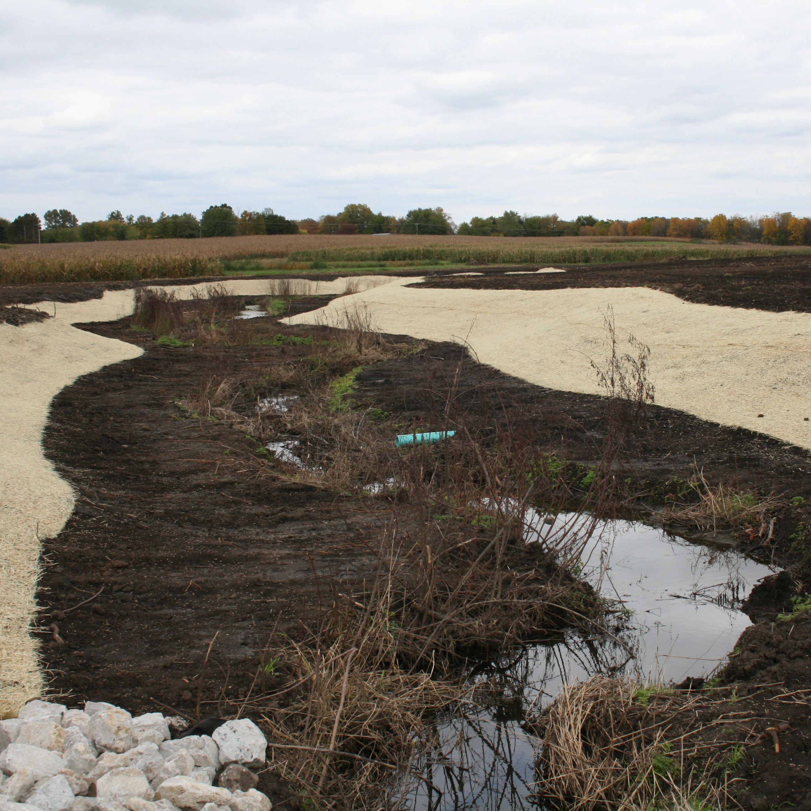
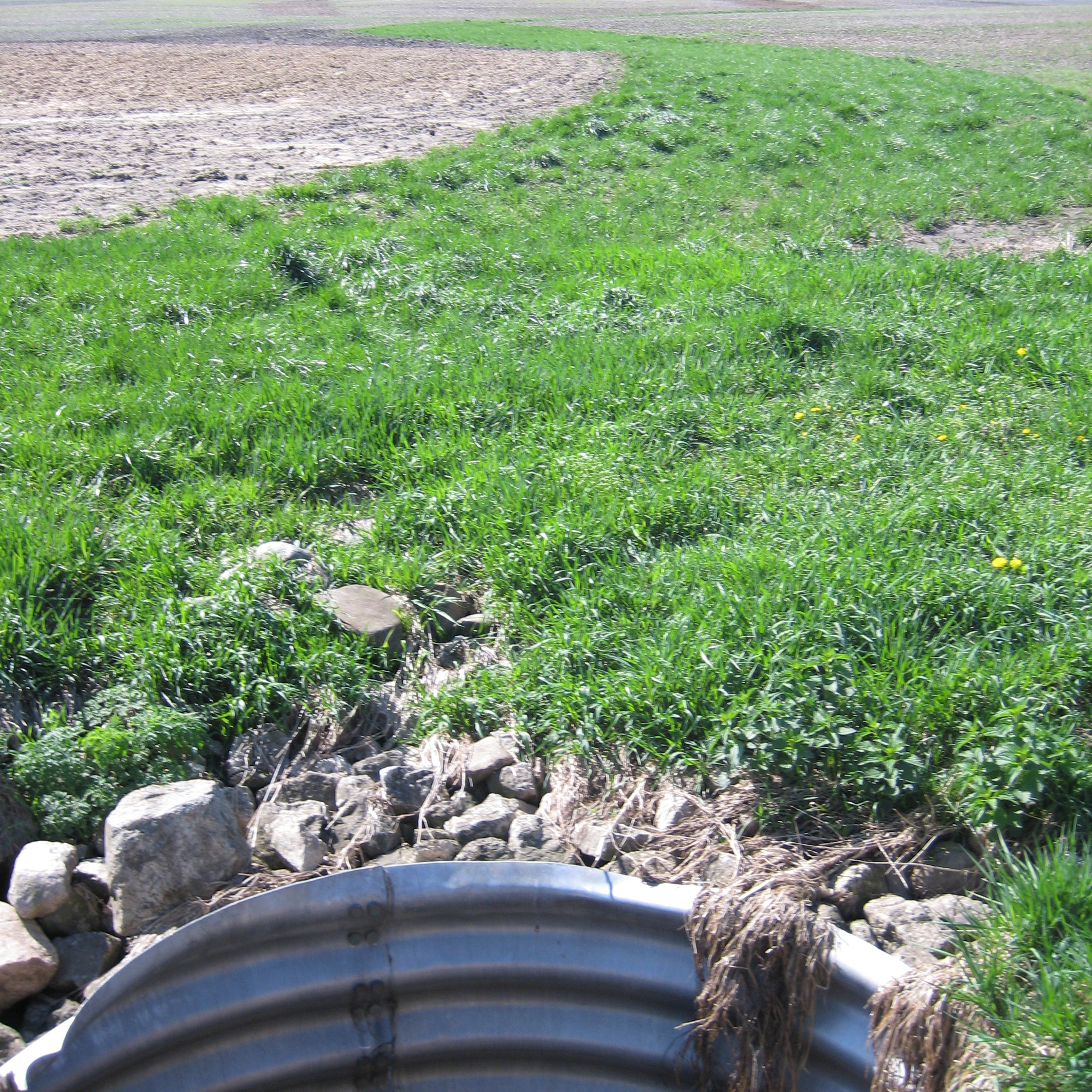
Demonstrating Nitrogen Treatment Effectiveness through Innovative Bench Wetland Systems
This project demonstrates and evaluates a nitrogen treatment system consisting of two practices: a two-stage ditch, and a bioreactor. The system was installed in September 2012 after 6 months of pre-construction monitoring of the existing ditch.
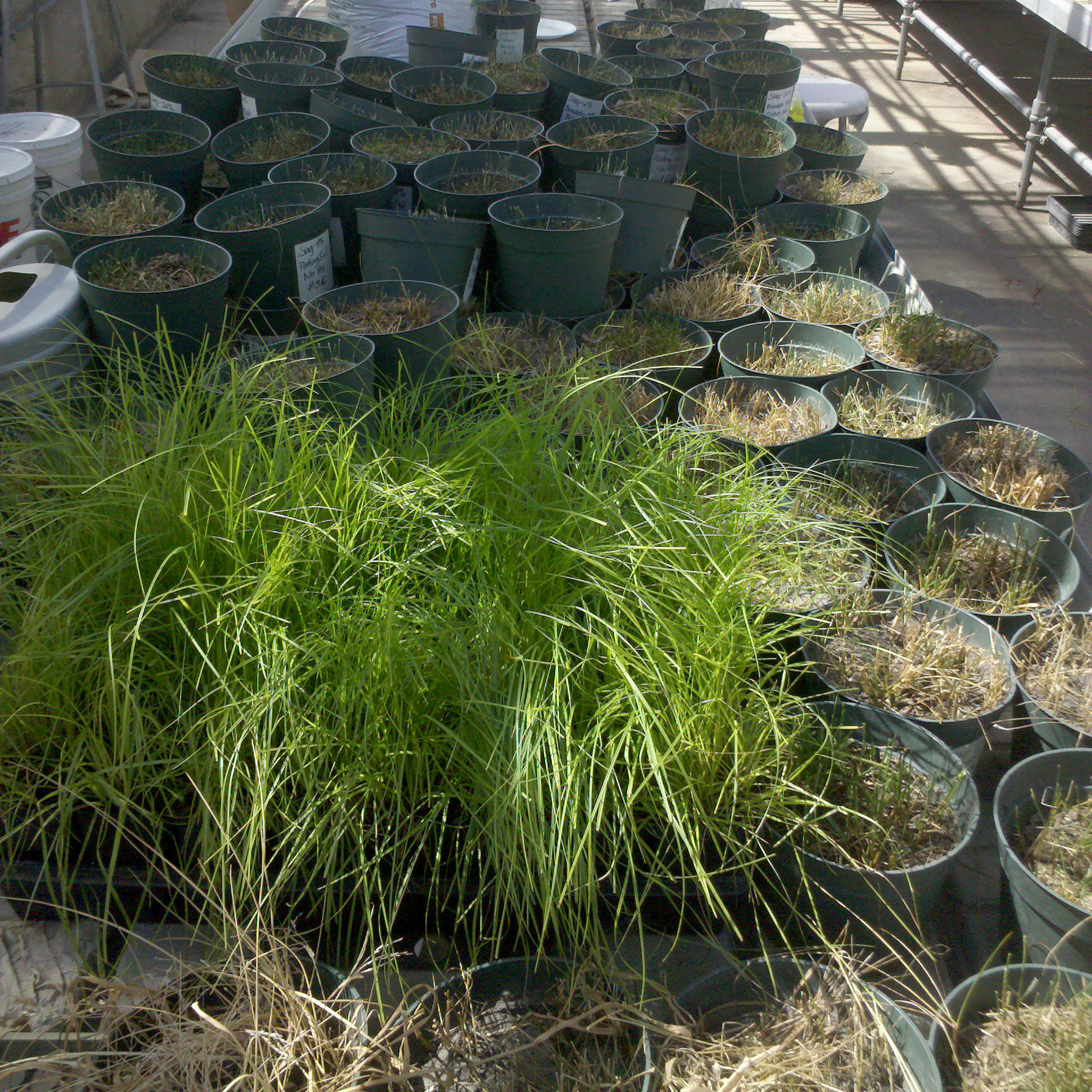
Climate Change, Mitigation, and Adaptation in Corn-Based Cropping Systems
This USDA funded project involved scientists and farmers working together to create a suite of practices for corn-based systems that: are resilient in times of drought, reduce soil and nutrient losses under saturated soil conditions, reduce farm field nitrogen losses, retain carbon in the soil, and ensure crop and soil productivity.
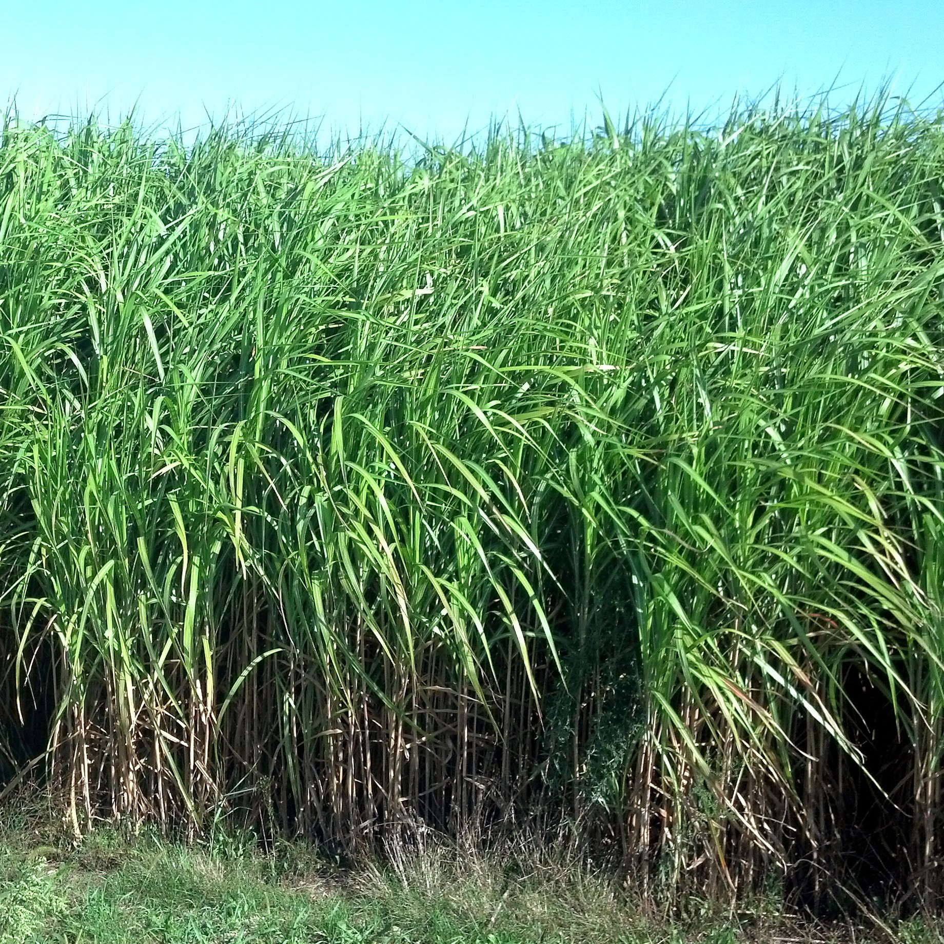
Watershed scale optimization to meet sustainable cellulosic energy crop demand
This DOE funded project evaluated the potential for biofuel specific feedstocks, including Miscanthus, poplar, willow and switchgrass, grown only on marginal croplands to meet the projected demand to meet ethanol production goals and achieve a Carbon neutral energy future.
Monitoring Episodic River Inflow Plumes Using In-Situ and Remote Sensing Data
Funded by Illinois-Indiana Sea Grant through the USEPA Great Lakes Restoration Initiative (GLRI) this project quantified nutrient fluxes into southern Lake Michigan using satellite remote sensing imagery coupled with in-situ measurements of water quality.
Climate-Induced Changes to Fisheries Habitat in Lake Michigan: An Integrated Assessment
Funded by the NOAA SARP program this project developed down-scaled and bias-corrected future climate projections of wind speed and air temperature for use as inputs to the SUNTANS model to predict fish population distributions for Lake Michigan under future climate scenarios.

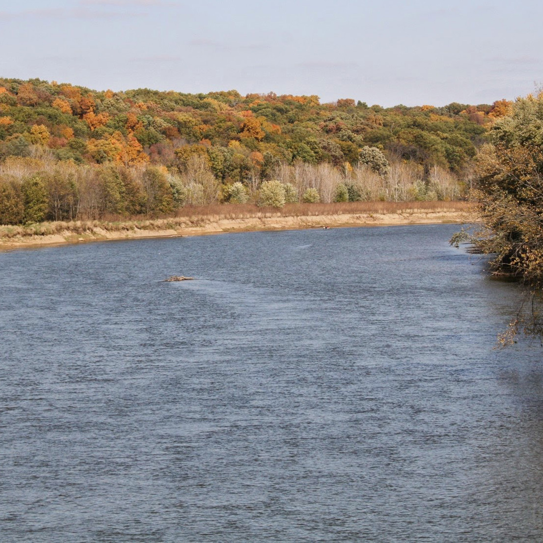
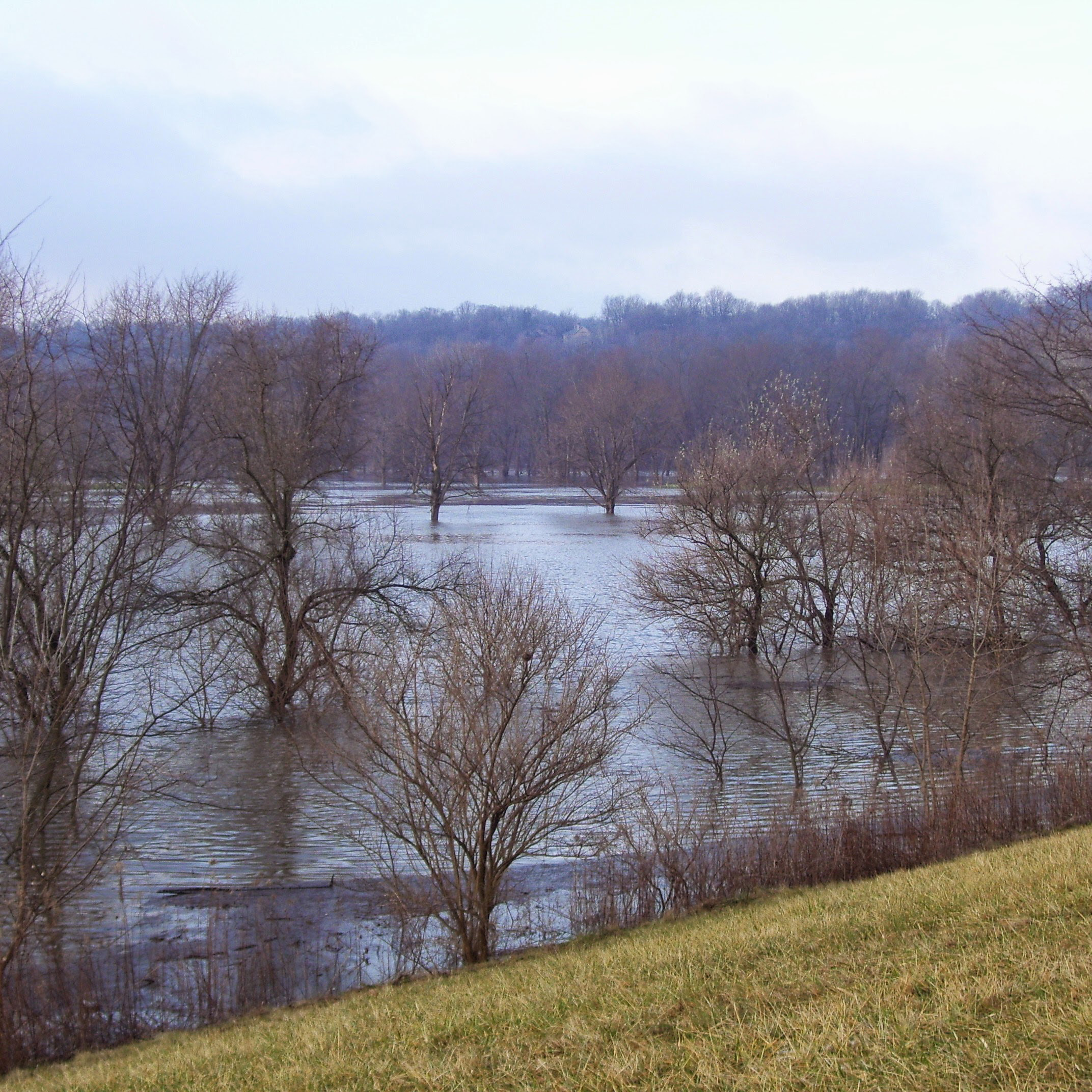
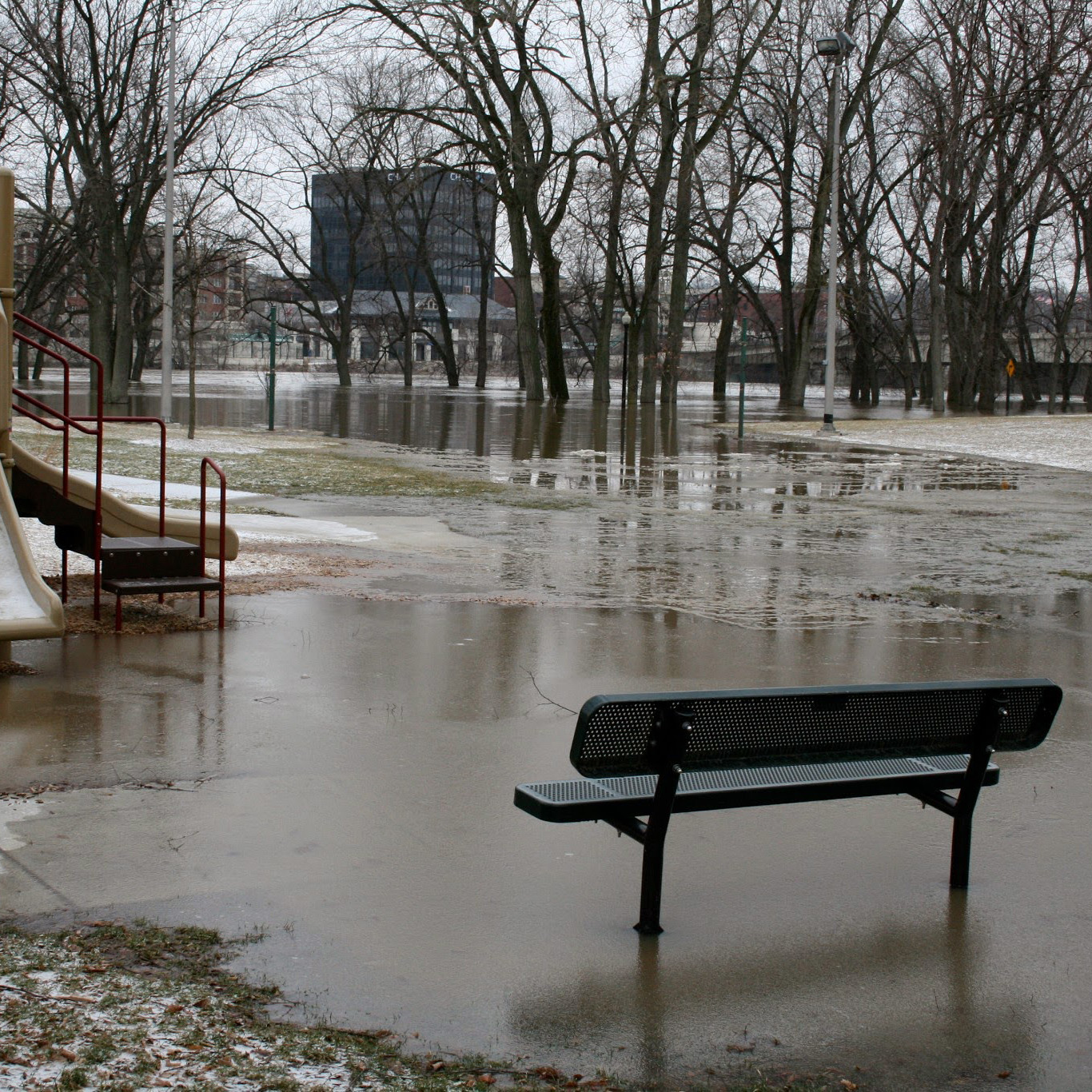
Assessing 21st Century Changes in Flood Risk Related to Climate Change Along the Upper Mississippi River, USA
Funded by the National Commission on Energy Policy (NCEP) this project used down-scaled and bias-corrected projections of air temperature and precipitation with the Variable Infiltration Capacity (VIC) large-scale hydrology model to produce streamflow projections for the Mississippi River. Streamflow projections were then used to predict changes in flood risk for a 300-mile long stretch of the main stem upper Mississippi River including the city of St. Louis. This information was fed to an economic assessment tool to estimate potential flood damage based on the projected changes to streamflow.
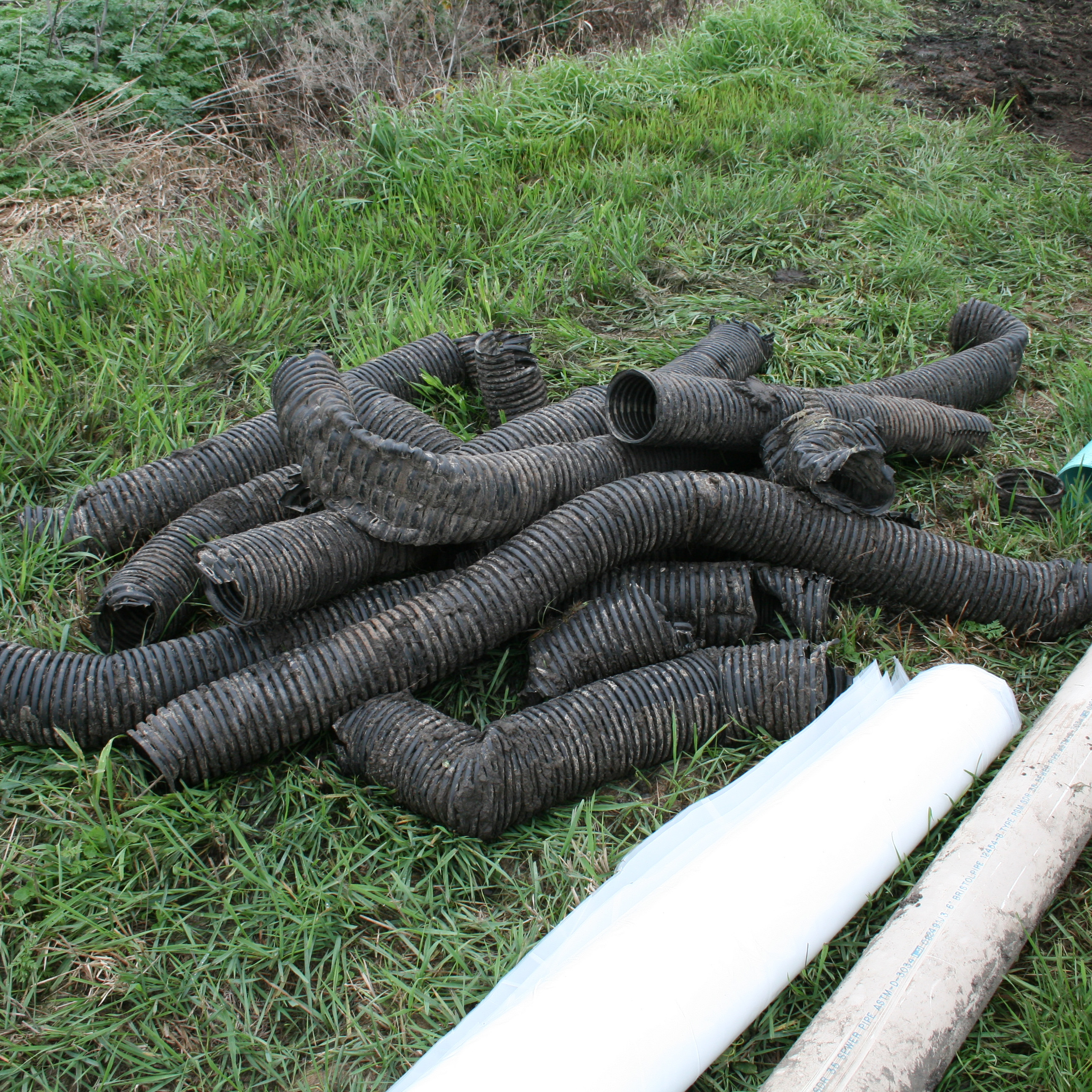
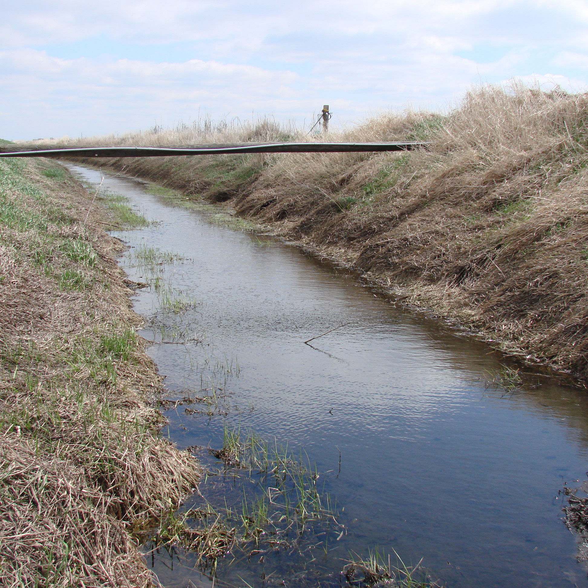
Subsurface Drainage Impacts on Streamflow Pattern and Nitrate Load
USDA-CSREES NRI funded project to quantify the influence of subsurface drainage on watershed streamflow and nitrate load from the Wabash River basin in Indiana and to assess the potential for water conservation using a combination of observed data analysis, including streamflow partitioning, hydrologic and statistical modeling, coupled with GIS.

Multisensor/Multiscale Assessment of Urban Impacts in the Great Lakes Region
NASA Land Cover / Land Use Change funded project to develop an integrated modeling tool, incorporating spatial data from multiple sensors, to study the interactions between land-use, weather, and surface hydrometeorology, with a specific focus on the potential impacts of increases in urbanization within Upper Great Lakes region.
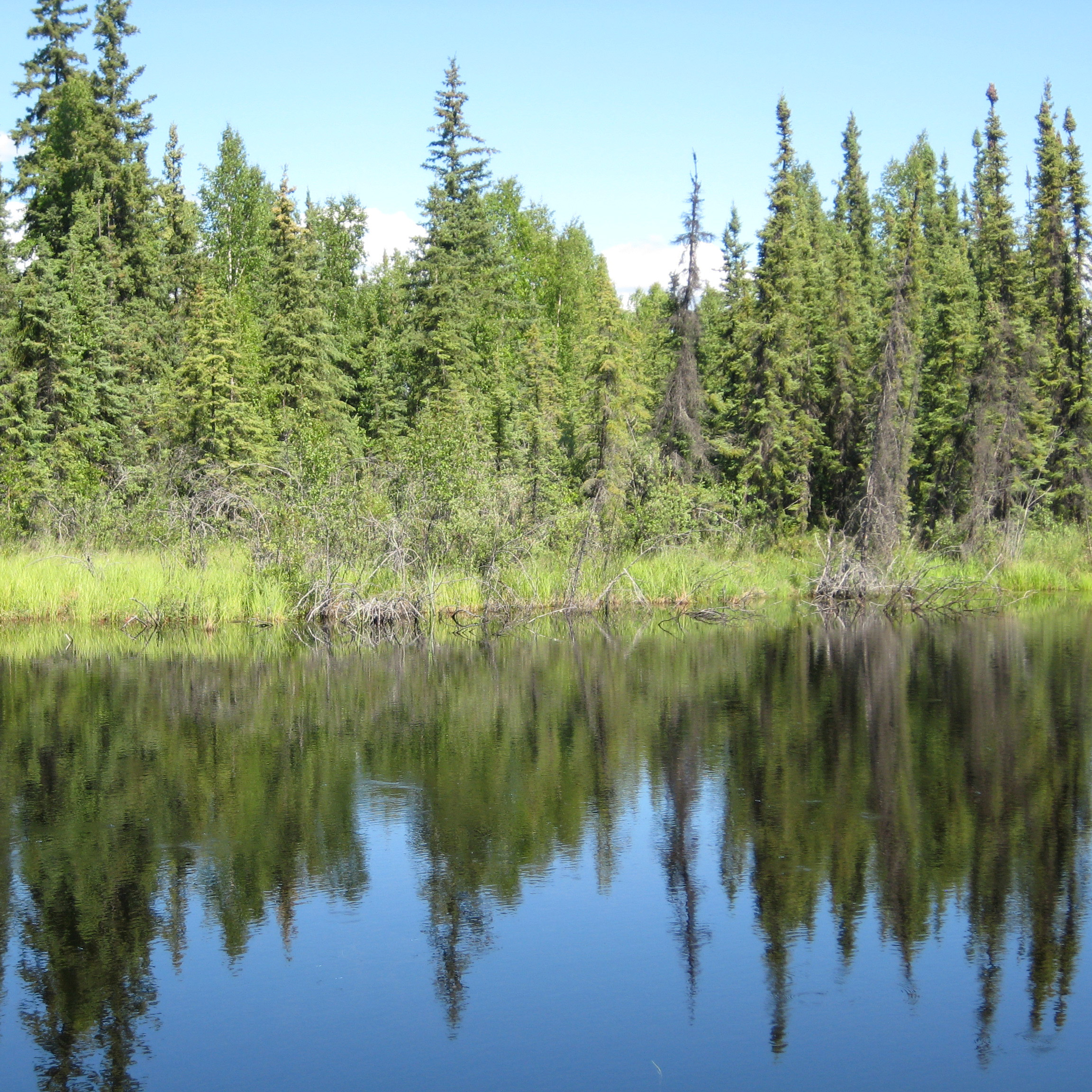
Diagnosis and prognosis of effects of changes in lake and wetland extent on the regional carbon balance of northern Eurasia
DESCRIPTION NEEDED.
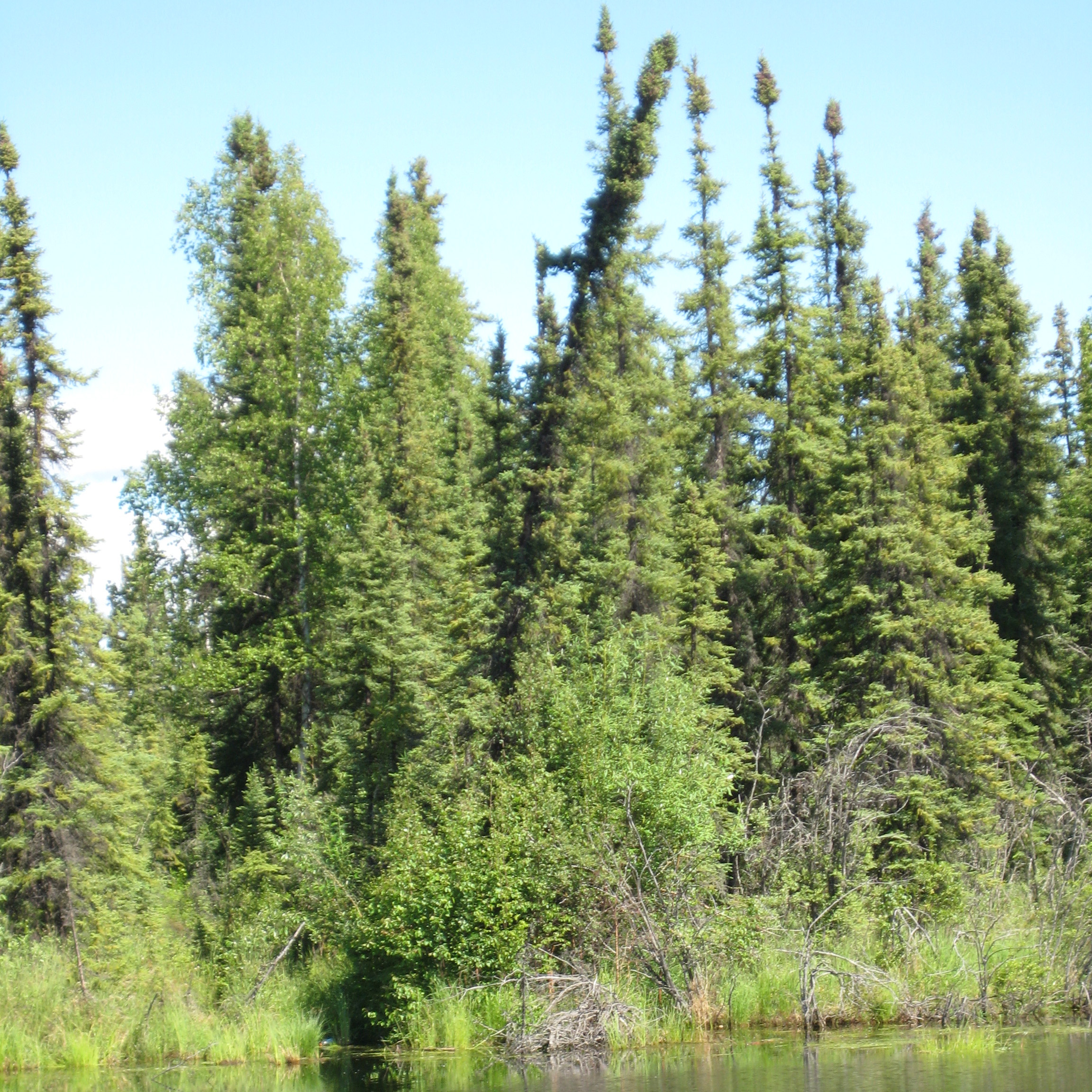
An integrated understanding of the terrestrial water and energy cycles across the NEESPI domain through observations and modeling
A NASA funded project to quantify how changes in climate, land cover and water management in northern Eurasia over the previous half-century affected the land surface hydrology and flood frequency, and identify the impacts at regional to continental scales?
Drainage water management impacts on nitrate load, soil quality and farm profitability in a Midwestern watershed
USDA CSREES funded project.
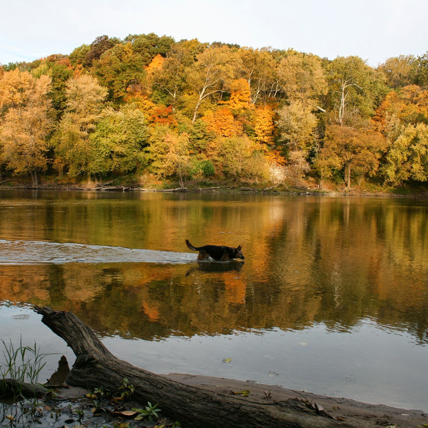
Living Laboratories on the Wabash, Purdue Center for the Environment
The goal of Living Laboratories on the Wabash was to establish a 'living laboratory' that integrates discovery, learning and outreach, acting as a model for other river communities in Indiana and elsewhere. The project worked to identify shared values related to the Wabash River, created visions for the river's future, what is needed to improve the river and how others can get involved and be excited about the Wabash. The Wabash River Enhancement Corporation is a direct descendant of this project.
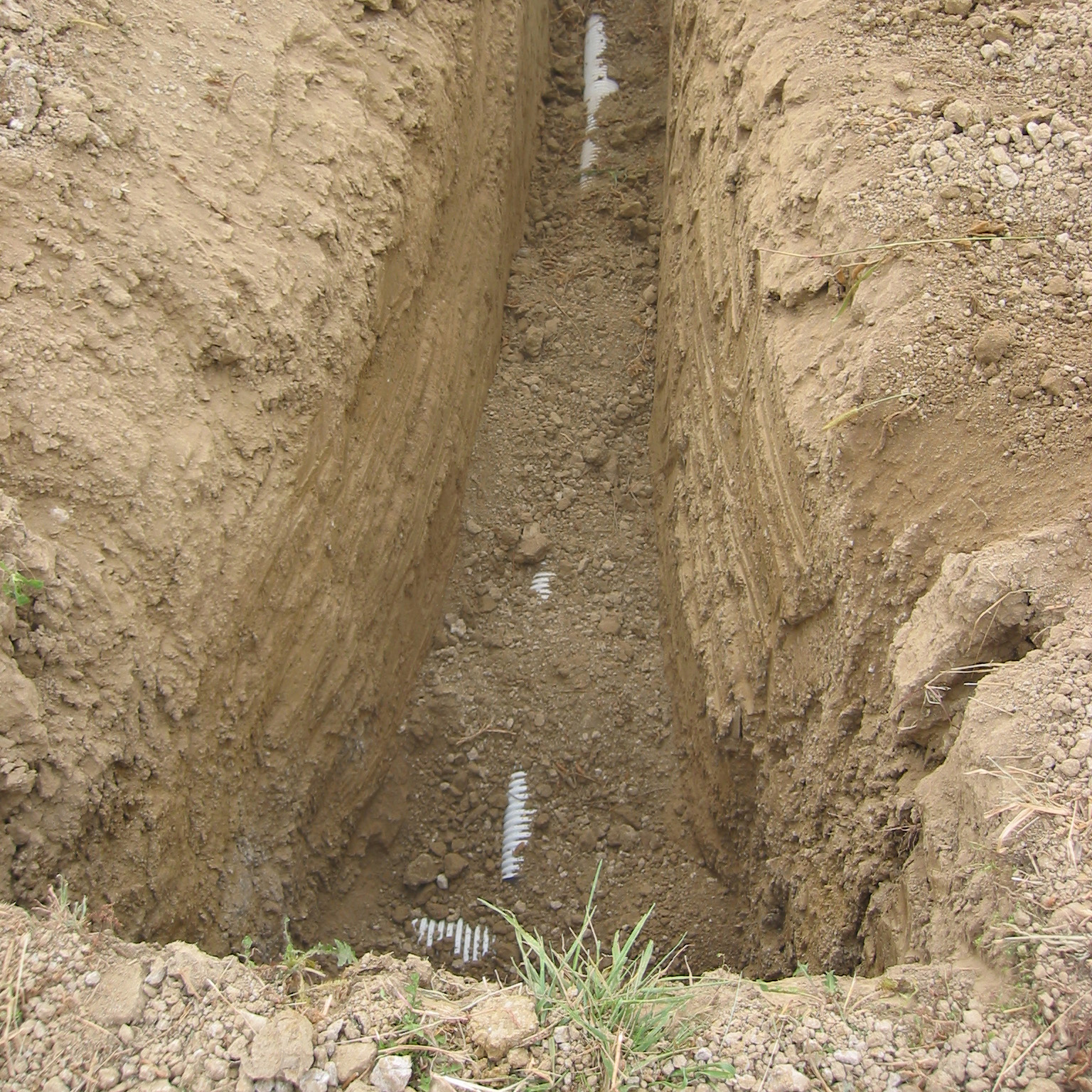
Mapping of tile drains in the Hoagland Ditch watershed, Indiana
The first project to map agricultural land area in Indiana which is likely to have subsurface drainage improvements began with the Hoagland Watershed in west central Indiana. This potentially drained area was mapped from the National Agricultural Statistic Service (NASS) land cover dataset, as well as soil drainage class and soil slope data from the Natural Resource Conservation Service (NRCS) SSURGO database using the decision tree classifier model developed by Naz and Bowling (2009). The decision tree classifies all the crop land that is some what poorly/poorly/very poorly drained and has an average soil slope of less than 2% as potential tile drained area.
Seasonal soil frost: A study of its significance to the hydrologic cycle of North America
A NASA New Investigator Project to identify the role of seasonal soil frost in the spring hydrologic response of North American rivers and streams and to determine how seasonal frozen soils responded to historic climate variability.
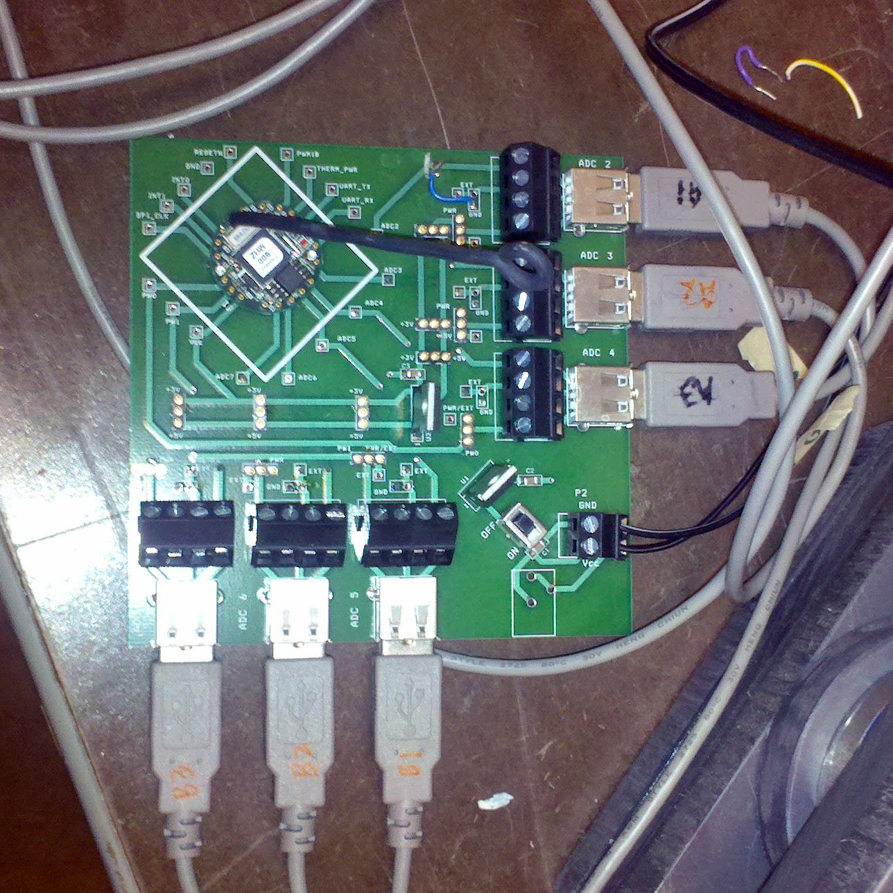
Wireless Sensor Networks for the Spatial Observation of Environmental Properties
A project funded by the Center for the Environment (C4E) to develop a wireless sensor network for in-situ soil observation that would accommodate current and future sensors used for these purposes. (Collaborators: K. Cherkauer, J. Evans and M. Porterfield).
Mapping and analysis of the hydrologic impact of subsurface drainage of agricultural fields in Indiana
Purdue Agricultural Research Programs (Collaborators: L. Bowling, B. Naz).
Carbon exchanges over the organic soils of the Kankakee floodplain: can water management manage the carbon exchange?
Purdue Center for the Environment (Collaborators: R. Grant (PI), L. Bowling, J. Frankenberger, C. Johnston, D. Niyogi, L. Theller ).