II. SOIL AND LANDSCAPE PROPERTIES
Final check Next Section>>
After answers are marked for all soil properties on the left side of the scorecard (Fig. 19), contestants mark practices on the right side.
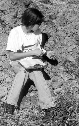
Fig 19. Concentrating before making the final decision.
Relationship of Soil Evaluation and Soil Survey
The soil properties that you examined for soil evaluation are also some of the important properties used in making a soil survey. The symbol that identifies an area mapped in a soil survey usually consists of three main parts: soil phase, slope, and erosion. For example in the symbol MmB2, Mm represents the soil phase, Miami silt loam. The phase name, in turn, consists of two parts, the soil series name, Miami, and the texture of the surface layer, silt loam. You determined this texture in soil evaluation. Several of the other properties you judged—landform, flood hazard, color, subsoil texture, drainage, and soil depth—are used to define soil series.
The B of the symbol represents 3% to 6% percent slopes, as listed in the Slope section of the manual. In some cases, the slope breaks might be somewhat different from the ones listed, but these breaks are the most commonly used ones. If no symbol is listed, the slope is usually 0% to 2%.
The 2 of the symbol represents moderate erosion. In most soil surveys, this degree of erosion is described as “eroded,” but in other surveys it is described as “moderately eroded.” Severe erosion class would be represented by the number 3.
In many cases, the last element (erosion) or the last two elements (slope and erosion) of the symbol are not used. This means that all the soils of that phase have the same erosion, or the same slope and erosion. Usually, if the erosion is not given in the symbol it means that the soils have little erosion, especially those on 0% to 2% slopes. On more sloping soils, however, it could mean that the soils have about the same degree of erosion in all areas, but it was impossible to determine how much they were eroded.
To summarize, consider some symbols from the Hamilton County Soil Survey. This county has several of the soils pictured in the color plates of this manual. The symbol Br represents Brookston silty clay loam. Slope and erosion are not given in the symbol. According to the map unit description, the soil is “nearly level” and not eroded. CrA stands for Crosby silt loam, 0% to 3% slopes. It also has little erosion. The symbols for Miami soils are MmA, MmB2, MmC2, MmD2, MoC3, and MoD3. Mm stands for Miami silt loam. Mo represents Miami clay loam, a soil that has lost essentially all of its original A and E horizons. The B, C, D, 2, and 3 of the symbols follow the regular definitions given above.
In addition to the soil maps and the descriptions of the soils, soil surveys contain many interpretations that describe various uses of the soils. In the following sections you will study how soil properties relate to uses of the soils.