
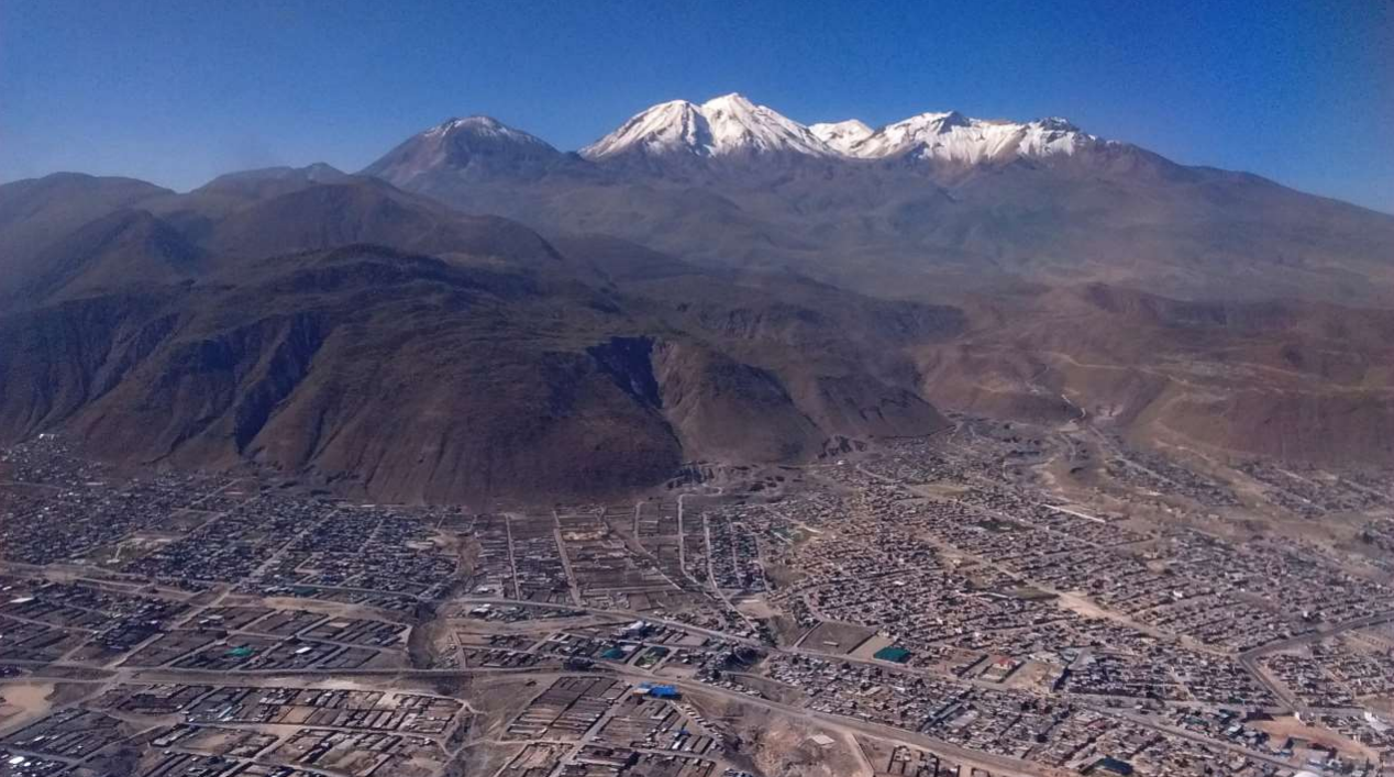
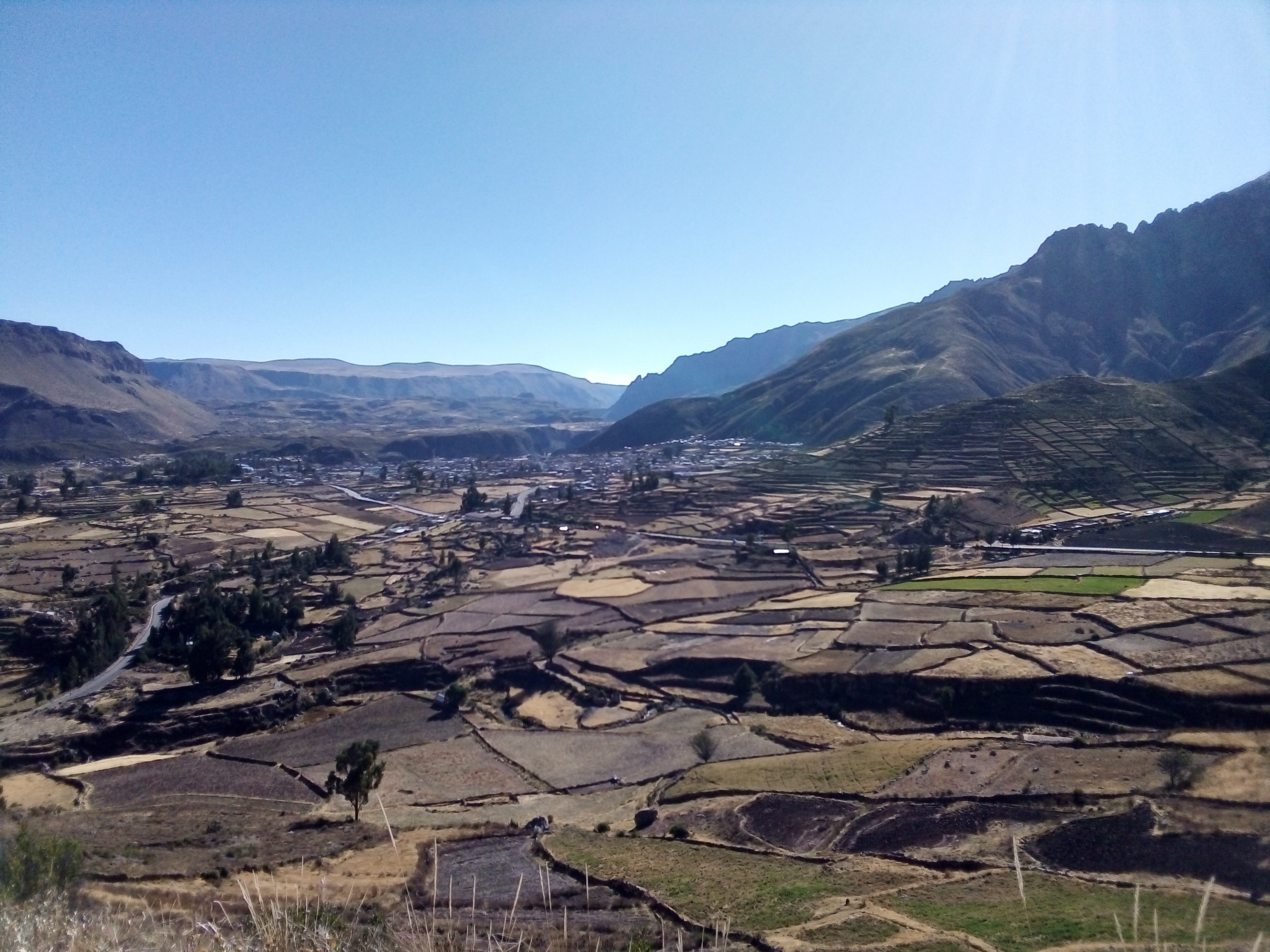
Co-production in Arequipa
 Co-production is the process by which experts, in this case tool developers, and users work together to co-create products that are most useful, usable, and adapted to local needs. It includes expertise from both parties and a multistep process to achieve the desired output. A multidisciplinary team, led by Linda Prokopy and Edwin Bocardo, is working with stakeholders at both the regional and local levels to develop products to aid in water management decision-making. Communities involved in this effort include Pedregal, the Colca valley, and several municipalities in the city of Arequipa. These products span many expertises and provide a range of information for users for enhancing water management in a water-scarce region.
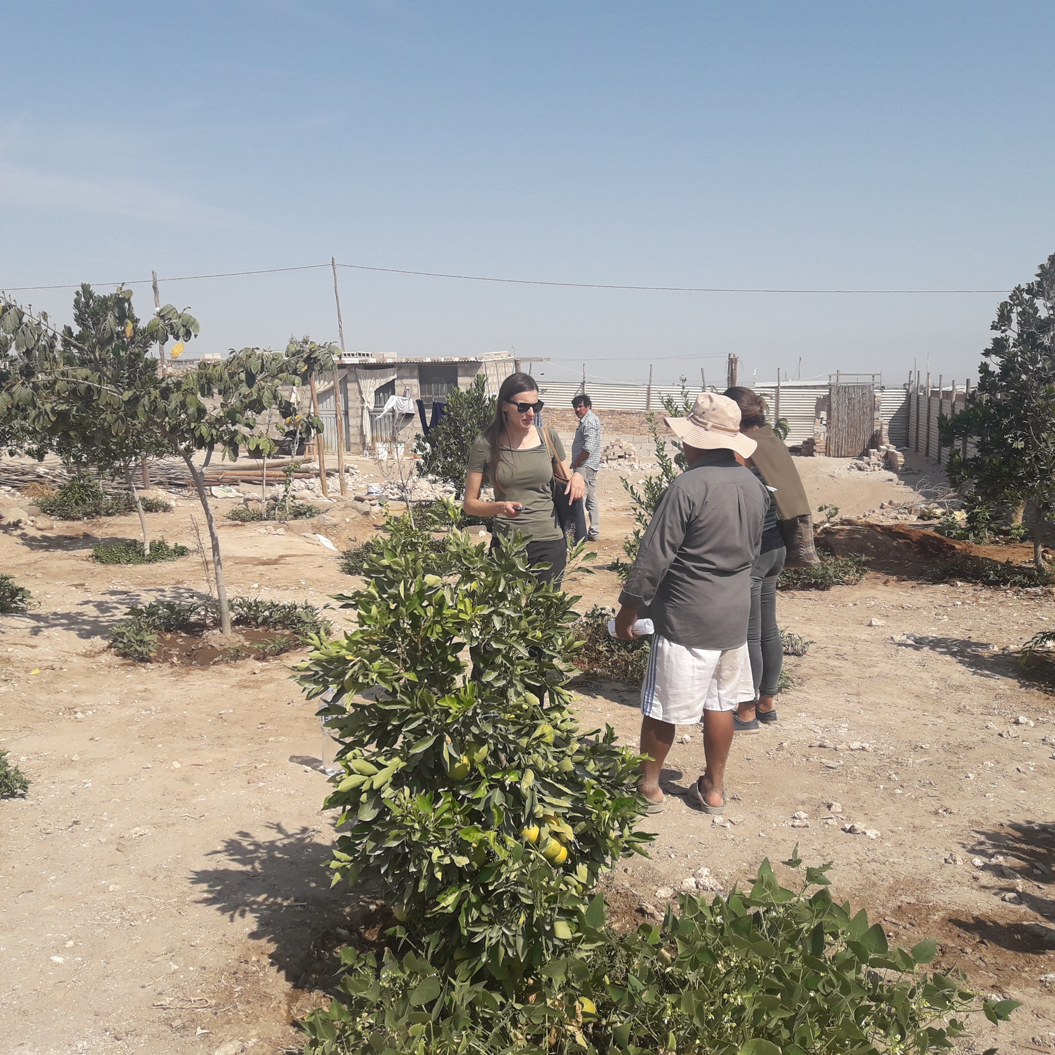
We identified the needs of community members and of personnel in various agencies in two phases. In Phase 1, SWM members conducted semi-structured interviews with community members and agency personnel in the Arequipa department of Peru. Interviewees were asked about water and crop management in their regions, problems they faced, and their proposed recommendations for improvement. We also identified the existing rules, norms, practices, and technologies used for watershed management at the community and agency scale in Arequipa.
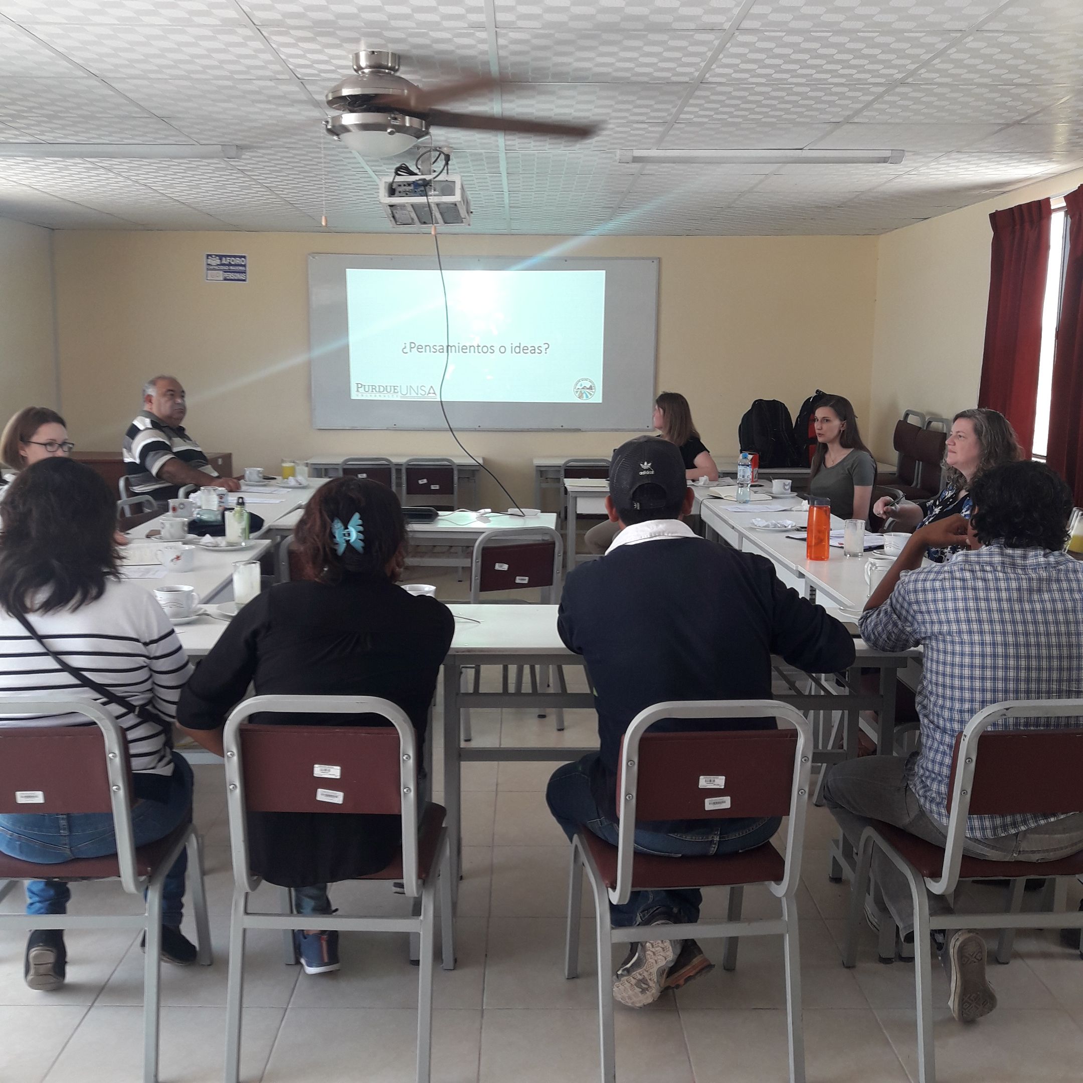
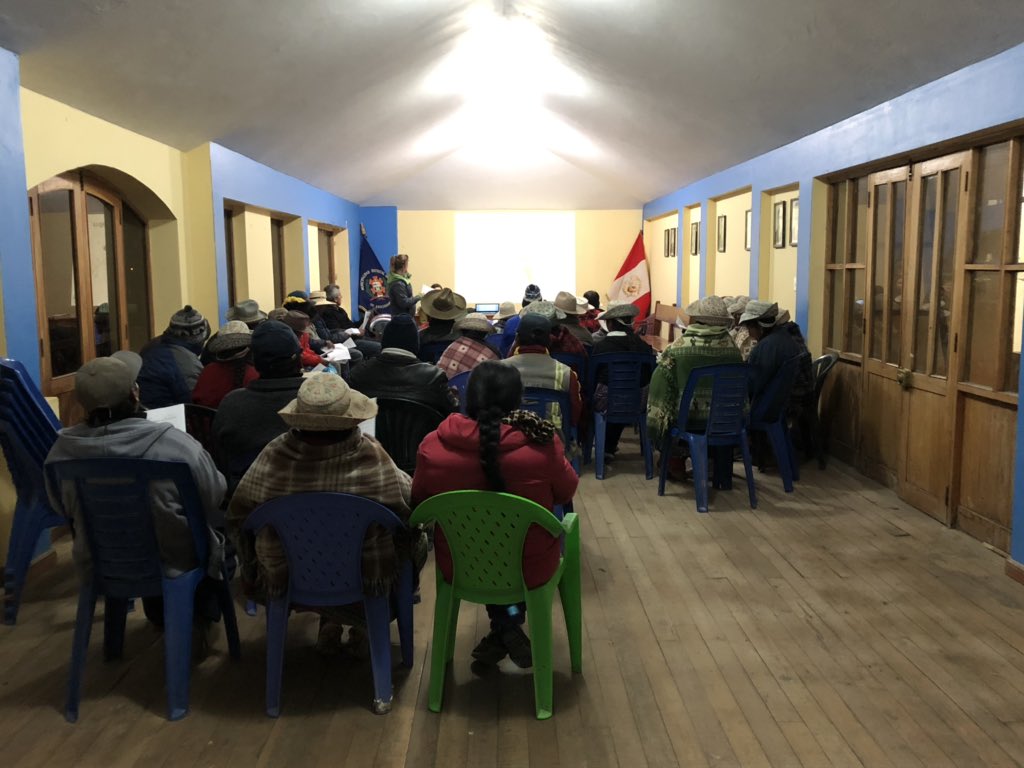
Based on interviewees' responses, Phase 2 consisted of focus groups with community members and agency personnel. Former interviewees were invited to participate, as well as key local leaders and decision makers in agencies. SWM members presented the research findings from Phase 1, which included a summary of needs that had been obtained from interviewees. We then presented some preliminary tools to address the various needs that had been identified by interviewees. Following the feedback from focus group participants, the draft tools were revised.
Below is a list of products that are being created by the SWM team as a result of needs and interests identified through the co-production process. Due to COVID-19, in lieu of follow-up focus groups, we will send out surveys along with videos about the tools we are developing to stakeholders so that they can provide input about the usefulness and usability of these tools.
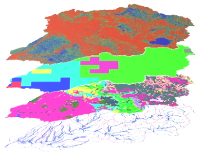
Regional Water Management Simulations
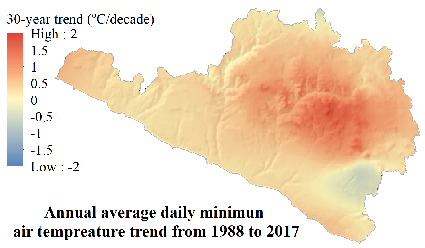
Climate Fact Sheets
Ephemeral Stream Risk Assessment
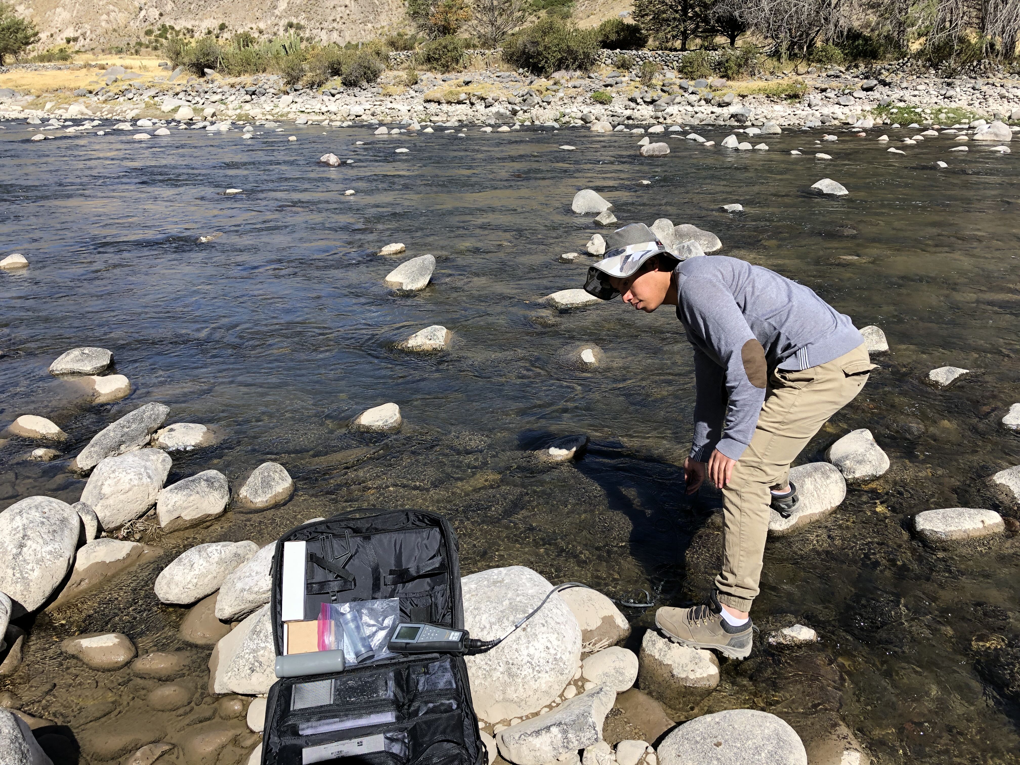
Understanding Water Quality
Crop Monitoring
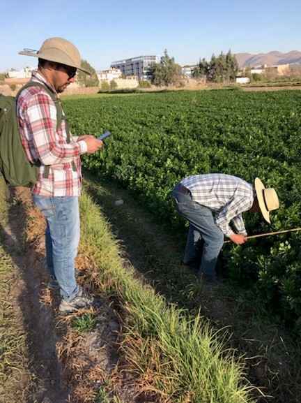
Irrigation Management
Purdue University, 610 Purdue Mall, West Lafayette, IN 47907, (765) 494-4600
© 2020 Purdue University | An equal access/equal opportunity university | Copyright Complaints | Maintained by the Sustainable Water Management team of The Nexus Institute
Trouble with this page? Disability-related accessibility issue? Please contact the SWM team using information on the Contact page.