
Online Web Tools for Arequipa
HidroAQP
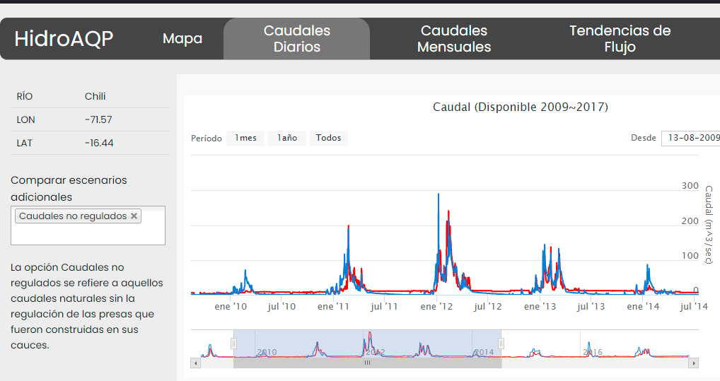
HidroAQP is a free online tool that provides streamflow information for any stream in the Quilca-Chili-Vitor and the Camana basins. It provides streamflow under current conditions based on simulation using the SWAT model created for the two basins.
AQP-Clima
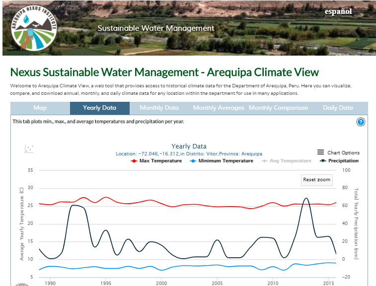
Terrain sensitive climate maps were used to create an online interface, which allows users to explore historic climate data and trends of temperature and precipitation throughout Arequipa.
CultiVista
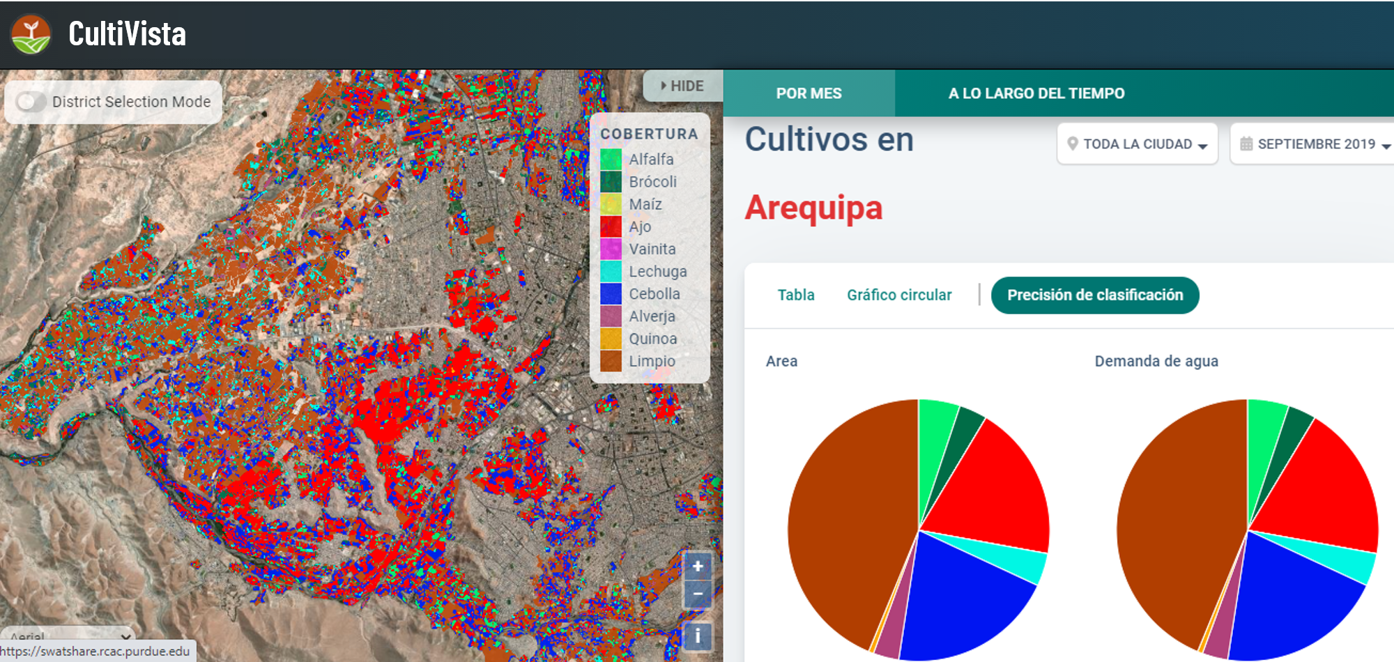
Remote-sensing and irrigation simulation information were combined to create this crop monitoring interface, which will allow users to see which crops are growing in a given area and estimate water use needs.
EASYINDEX-Agua
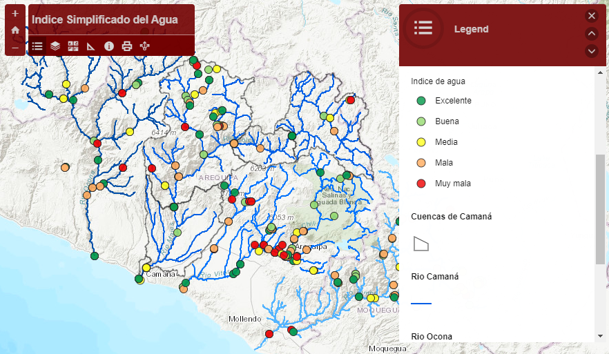
Water quality data can be complicated and difficult to interpret. EASYINDEX-Agua is a mapping and calculator tool that provides simplified water quality information. Water quality sampling at locations throughout Arequipa are displayed as single index values showing water quality ranging from Excellent to Very Bad that can be viewed spatially in the major rivers. Users can also input their own data into the calculator to determine index values for their water quality samples.
Macroinvertebrate guidebook
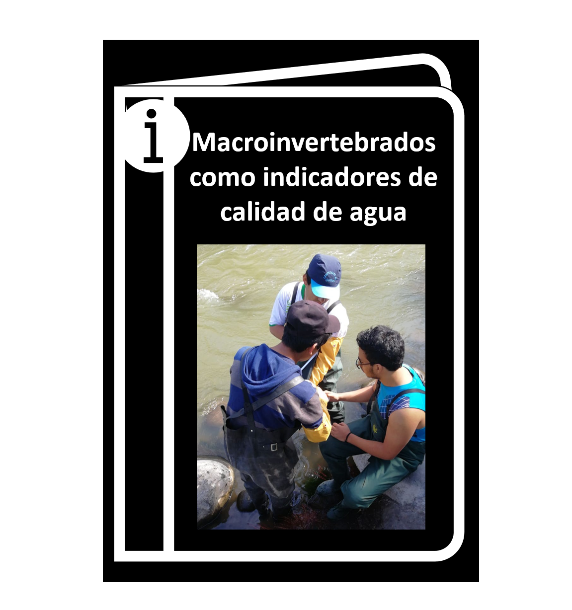
Benthic macroinvertebrates, tiny visible creatures that dwell within creeks and streams, have commonly been used as an indicator of water quality. However, the species used in the US may not be applicable in different global ecosystems. This guidebook provides simple guidelines for using macroinvertebrates native to the Peruvian Andes as water quality indicators.
OpAgri - Crop Mix Planning Tool Phone App
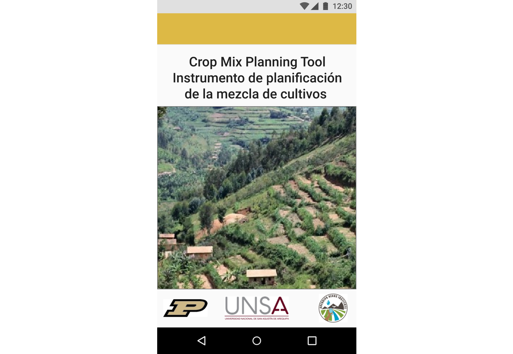
Farmers in the Colca Valley in Arequipa often have very limited access to water, which can lead to crop drought stress and crop yield, ultimately reducing profit. OpAgri (Agricultural Optimizer) was created to help farmers plant a mix of crops that could increase their profit and provide security by incorporating a variety of crops by using model-based crop water use data.
AguaRiego - Crop Water Use Tables Phone App
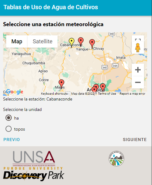
Limited water availability in the arid Colca Valley in Arequipa creates water stress for many uses, including agriculture. Often, farmers base decisions on irrigate quantities their fields on experience alone. The Crop Water Use Tables provide model-based information to farmers to help make decisions about how much to irrigate specific crops on a monthly basis and over the entire growing season.